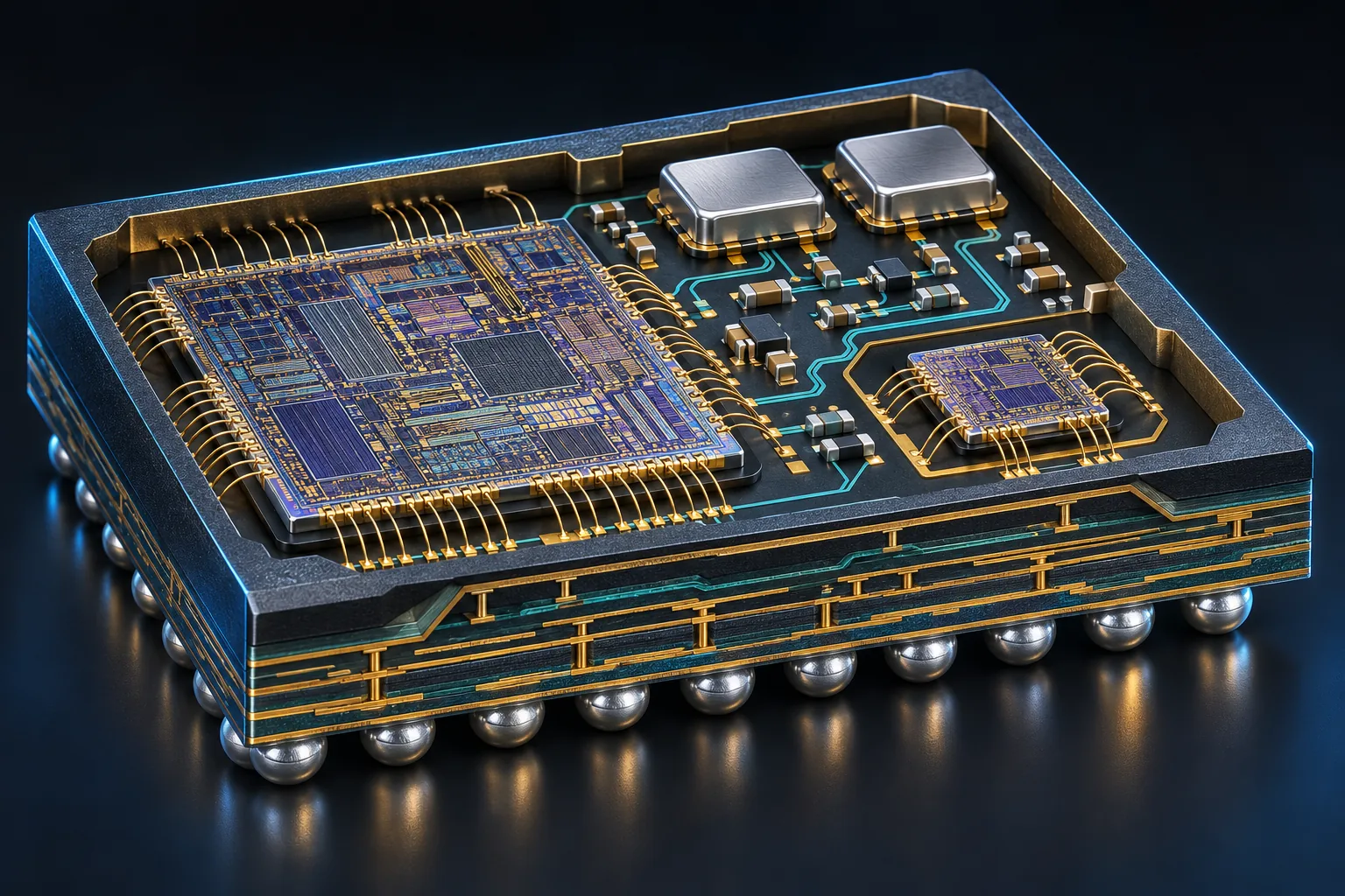
A compact heterogeneous package bringing positioning, RF signal conditioning and a dedicated security die together for industrial tracking and telemetry.
Local chip functionality remains available without an internet connection. Cloud connectivity expands services rather than replacing the local operating path.
POSITIONING & ENCRYPTED TRAJECTORY
FVX-GN228S
● OFFLINE / LOCAL OPERATION
Anti-jamming satellite positioning and an encrypted trajectory black-box cache, without cellular or internet connectivity.
Independent satellite positioning
Encrypted local trajectory records
Black-box caching during network loss
↗ CONNECTED / SERVICE EXTENSION
Connectivity adds trajectory synchronization and fleet-service integration. Positioning still requires usable satellite reception and an appropriate antenna installation.
Product functionality statement supplied by FuuVeXia. Core offline language lists, deployed model packs, storage configuration and characterized translation latency are defined in controlled product / integration releases. Public diagrams retain conceptual functional pins pending the formal datasheet.
FVX-GN228S
Designed into your system.
Review the operating envelope, interfaces and evaluation conditions as part of a complete design-in process.
Baseband process22 nm
PackageSiP · 7 × 7 mm
ConstellationsGPS / BeiDou / Galileo / GLONASS
DESIGNED FOR INTEGRATION
Multi-constellation GNSS SiP with hardware security
01
Receive across constellations
Multiple satellite systems and dual-frequency capability support positioning system design. Exact band combinations require configuration confirmation.
02
Manage interference
RF filtering and baseband interference mitigation address different parts of the receive chain. Performance depends on the interference environment.
03
Authenticate the output
Hardware-backed signatures support source verification and message integrity. They do not independently establish the truth of a reported position.
SYSTEM VIEW
Architecture at a glance.
01
ANTENNA & RF
→
02
GNSS BASEBAND
→
03
SECURITY DIE
→
04
SIGNED TELEMETRY
Previous functional flow · retained
01ANTENNA & RF
→
02GNSS BASEBAND
→
03SECURITY DIE
→
04SIGNED TELEMETRY
Functional concept only. Not a circuit schematic or verified die floorplan.
TECHNICAL OVERVIEW
Start with the essentials.
Preliminary specifications supplied for this portfolio. Request the controlled datasheet and evaluation conditions before design-in.
¹ Measurement conditions and characterization reports pending confirmation. ² Detailed configuration or rating definition must be confirmed. Availability and qualification are subject to engineering review.
FVX-GN228S specifications
Baseband process
22 nm
Package
SiP · 7 × 7 mm
Constellations
GPS / BeiDou / Galileo / GLONASS
GPS / Galileo bands
L1 / L5 · E1 / E5a
Tracking sensitivity¹
−165 dBm
Cold acquisition¹
−148 dBm
APPLICATION FOCUS
Built around your system.
01
Fleet telemetry
Discuss operating conditions, interfaces and validation requirements with the engineering team.
02
Mining equipment
Discuss operating conditions, interfaces and validation requirements with the engineering team.
03
Maritime tracking
Discuss operating conditions, interfaces and validation requirements with the engineering team.
ENGINEERING IN CONTEXT
A closer look.
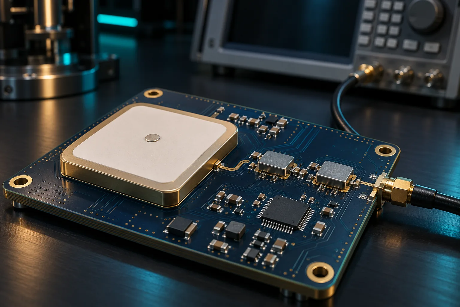
RF layout and antenna integration
Original concept illustration · not evidence of owned facilities or actual products
Industrial aerial systems
Original concept illustration · not evidence of owned facilities or actual products
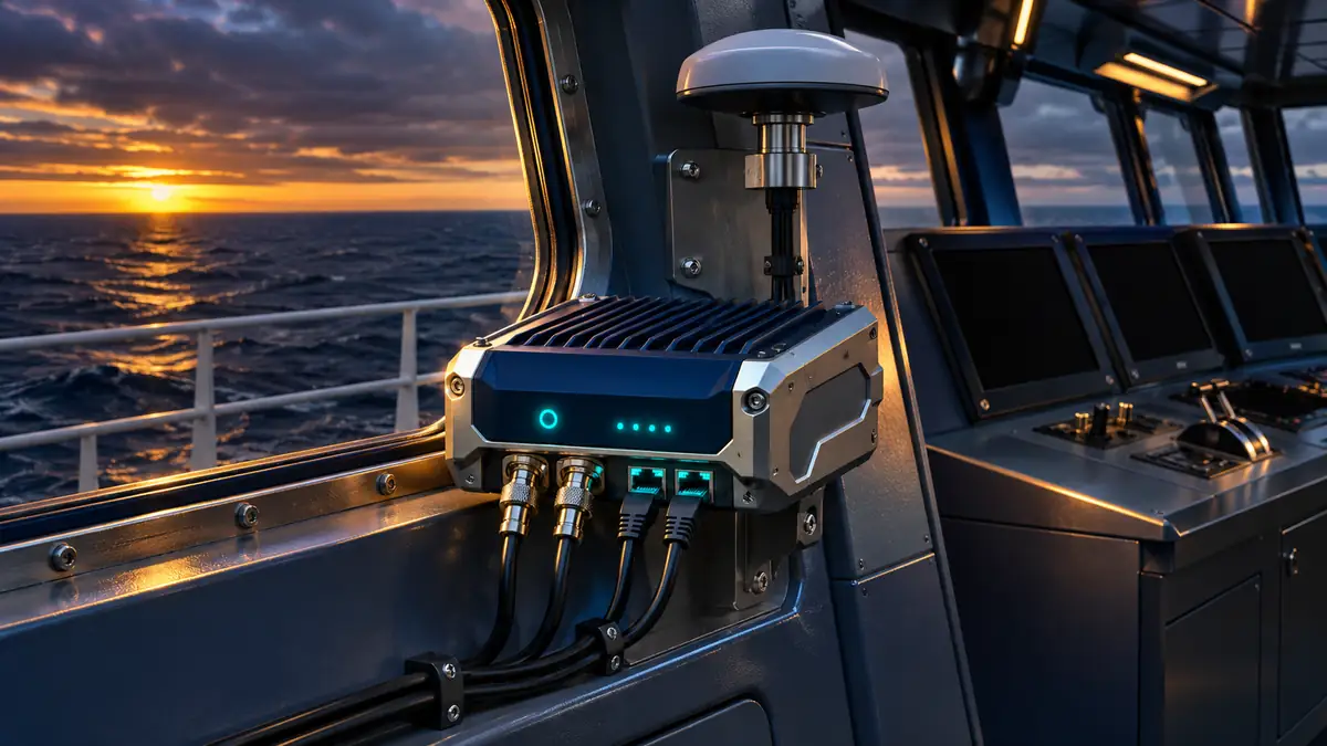
Maritime telemetry
Original concept illustration · not evidence of owned facilities or actual products
A robust tracking design combines the antenna, RF front end, positioning engine, authenticated records and a realistic deployment environment.
ENGINEERING IN FOCUS
Antenna placement on the final vehicle
Assess sky visibility, local emitters, ground plane and cable routing with the complete installation.
Original concept illustration · not a photograph of the released product or owned facilitiesENGINEERING IN FOCUS
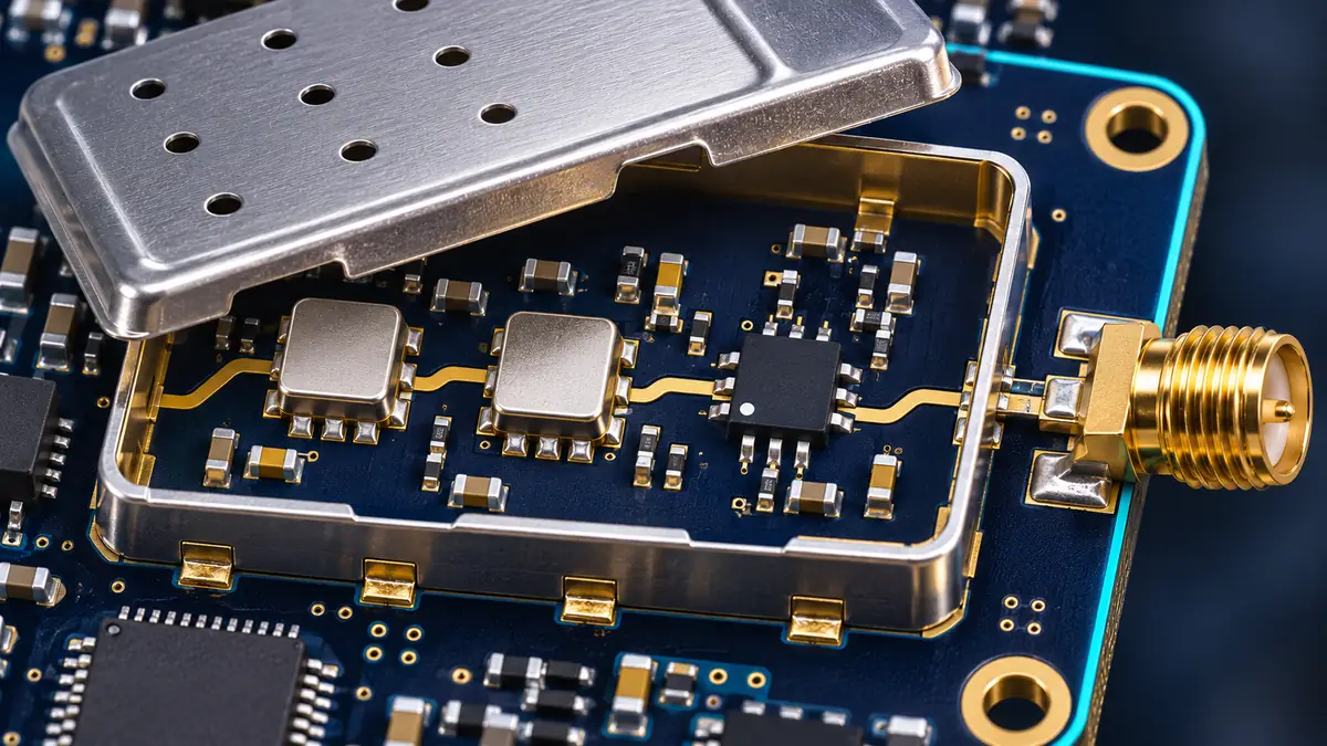
RF isolation and signal conditioning
Review the receive path alongside nearby switching supplies and transmitters.
Original concept illustration · not a photograph of the released product or owned facilities
SYSTEM RESPONSIBILITIES
Define every boundary.
Functional design perspective; external circuits and interfaces require confirmation against the controlled specification.
01
RF reception
Antenna → filtering / LNA → receiver
02
Navigation solution
Acquisition → tracking → position / time
03
Trusted telemetry
Quality flags → signature → transport
BOARD & SYSTEM INTEGRATION
From part selection to system design.
01
Specify the installation, not just the chip
The enclosure, antenna ground plane, cable loss and nearby electronics shape the RF environment. Evaluate the receiver with the chosen antenna and final harness. A laboratory sensitivity result cannot replace system-level measurements in obstructed or reflective environments.
02
Keep quality metadata with every observation
A telemetry record should preserve the observation time, solution quality and freshness along with coordinates. Distinguish a newly received record from a newly measured position. Buffering and retransmission should retain original timestamps rather than making old data appear current.
03
Define a signed-message envelope
Choose a canonical byte representation before signing. A proposed application envelope can include device identifier, sequence, timestamp, position payload and quality metadata. The final signature format and transport interface need a controlled protocol definition; a generic NMEA label is not sufficient.
External references describe general engineering principles; they do not validate or endorse this FuuVeXia product.
ENGINEERING IN FOCUS
Telemetry for maritime assets
Separate navigation quality, source authentication and communications availability in the system requirements.
Original concept illustration · not a photograph of the released product or owned facilitiesENGINEERING IN FOCUS
Field evaluation in a mining environment
Evaluate obstruction and motion using a documented reference and repeatable routes.
Original concept illustration · not a photograph of the released product or owned facilities
VERIFICATION PLANNING
A test plan you can discuss.
Evaluation
Define the conditions
Record the evidence
Cold acquisition
Known initialization state and signal levels
Acquisition time and success rate
Tracking
Specified constellation and signal dynamics
Continuity and quality indicators
Obstruction / multipath
Documented route and reference trajectory
Position error distribution and outages
Interference
Controlled facility and defined waveform
Degradation and recovery behavior
Message integrity
Altered, replayed and stale test records
Verifier rejection and diagnostics
Power / reset
Defined restart and backup conditions
State retention and restart sequence
Planning matrix, not completed test results. Acceptance limits must be agreed against the current device revision and application requirements.
ENGINEERING INTERPRETATION
A trustworthy message has several layers
A signature can identify the source and detect modification of a message. Freshness checks address replay. Receiver diagnostics describe navigation quality. These controls complement each other; none should be presented as independent proof that a reported physical location is correct.
SOURCE INTEGRITY + FRESHNESS + QUALITYDEVICE ID | SEQUENCE | TIME | PAYLOADIllustrative system reasoning · not a measured product benchmark
ENGINEERING QUESTIONS
Before you commit the design.
Are all satellite bands fully specified?+
The supplied portfolio names multiple constellations and selected bands. Confirm exact BeiDou signals, GLONASS support, concurrent combinations and firmware configuration before designing the RF path.
Is −165 dBm a cold-start sensitivity?+
It is a preliminary tracking target. The separately supplied cold-acquisition target is −148 dBm. Both need measurement conditions and a controlled specification.
Does secure packaging prevent GNSS spoofing?+
Package-level access control and message security address different threats from forged satellite signals. Anti-spoofing capability requires its own design and evidence.
Can it serve as a certified navigation system?+
The application examples are design contexts, not navigation or safety certifications. Assess the complete system and obtain all application-specific approvals independently.
FVX-GN228S / NEXT STEPS
Bring the right inputs to the review.
Share your operating conditions, host platform, enclosure constraints and intended qualification requirements. Include the evidence and documentation your procurement team needs.